
Solutions
Market intelligence built around the decisions you make.
Producers
Aggregates, Industrial Minerals & Commercial Mining Operations
Suppliers
Equipment, Technology & Service Providers
Data Center Site Selectors
Developers, Site Selectors & Infrastructure Teams
01 / Producers
Producers
Evaluate markets, understand competitors, and identify opportunities with mining, aggregate, and location intelligence in one place.
Property & Land Intelligence: View official government land boundaries alongside mines, geology, infrastructure, and other market data.
Competitive & Market Intelligence: Compare nearby producers, production estimates, ownership, and market activity to better understand the competitive landscape.
Why Producers Choose Mineralocity
- Official property boundaries
- Verified producer database
- Production estimates
- Geology & market intelligence
- PASS Reports
worth $2,500 but comes free with an annual plan.
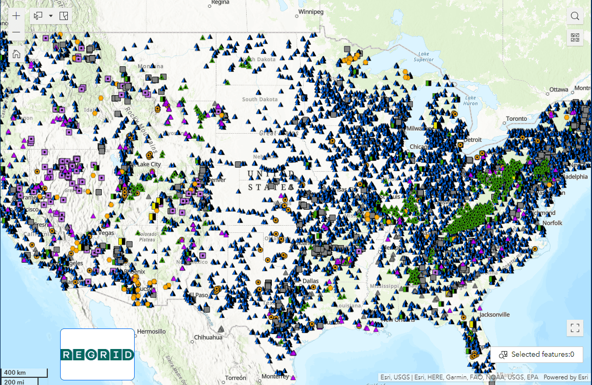
Geology Meets Market Intelligence
Understanding where a quarry is located is only part of the story. Mineralocity combines geological mapping with verified producer data to help you visualize resource distribution, identify production clusters, and better understand the markets you're evaluating.
Watch how Mineralocity overlays geological formations with active producer data.
02 / Suppliers
Suppliers
Identify the right producer accounts, understand your territory, and uncover opportunities across the mining and aggregates market.
Verified Industry Contacts
Find verified local and corporate contacts connected to mining and aggregate operations across your territory.
Target Account Lists
Filter producers by location, production, ownership, and other criteria to build and export targeted account lists.
03 / Data Center Site Selectors
Data Center Site Selectors
Evaluate aggregate supply, transportation, and market conditions around potential data center sites.
Nearby Aggregate Supply: Identify nearby aggregate producers and understand production and growth trends surrounding a potential project site. Transportation & Infrastructure: View rail, shipping, transportation, producer, and geological data alongside the locations you're evaluating.
Solutions
Not sure where to start?
Tell us what you're trying to evaluate, and we'll help you find the right Mineralocity solution.